
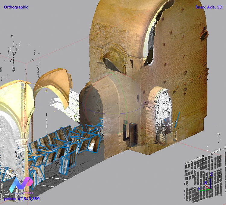
Customer supported processing to extract as much detail from source images as possible, this blog reviews the steps taken to produce reliable results from depth maps instead of the dense cloud
Customer supported processing to extract as much detail from source images as possible, this blog reviews the steps taken to produce reliable results from depth maps instead of the dense cloud
Today we are happy to announce AccuPixel is now a part of the Global Mapper Certified Reseller program: Why Global…

Underwater GPS data merged with image files a simple to use tool
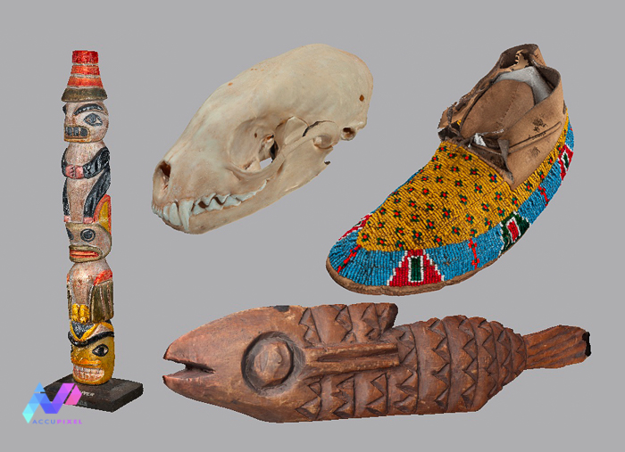
A short blog reviewing some of the objects scanned on behalf of Hastings Museum

Update from AccuPixel announcing partnership with US National Parks Service Submerged Resources Center. Consultancy services with software development and multi-camera processing workflow development
Merging laser scan data and photogrammetry in Metashape Professional as covered in the AccuPixel modular online training course
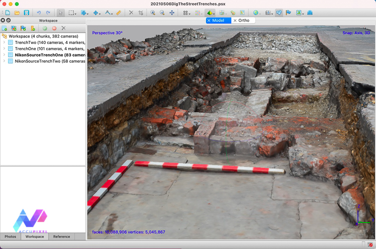
Preserving the contents of two excavation trenches on Weymouth’s North Quay area, site of English Civil War battles

AccuPixel bundle deal featuring Metashape Professional software, online training and 12 months subscription to Construkted and Dronelab
News of AccuPixel being appointed UK Dealer for UWIS – underwater information systems – and the application with ROV tracking
Short news item covering an update to the AccuPixel online training course for Metashape Standard