Short discussion on why alignment can fail and what techniques can be applied to overcome the issues.
Short discussion on why alignment can fail and what techniques can be applied to overcome the issues.
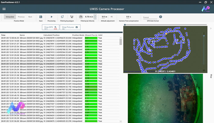
Short video explaining the installation and use of the AccuPixel Camera Position App
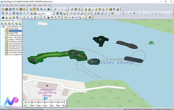
Using Global Mapper GIS tools to merge UWIS track logs with geo referenced 3D models derived from Metashape and generate video output

Underwater photogrammetry and UWIS diver tracking and data acquisition training for an AccuPixel client at Capernwray Diving Centre
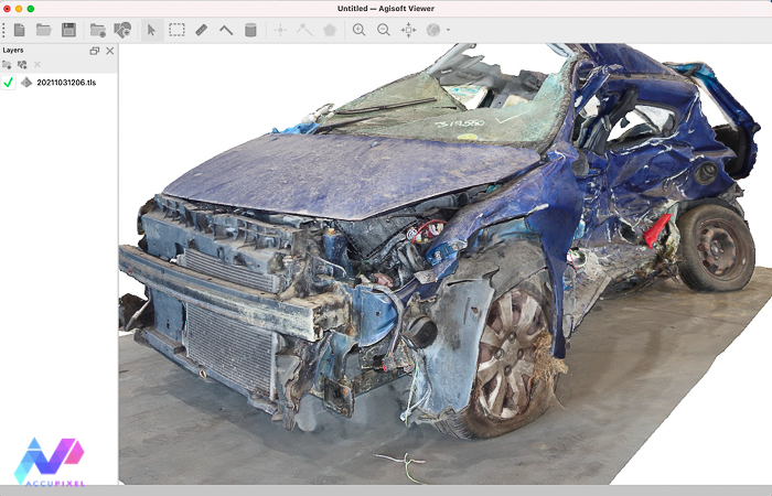
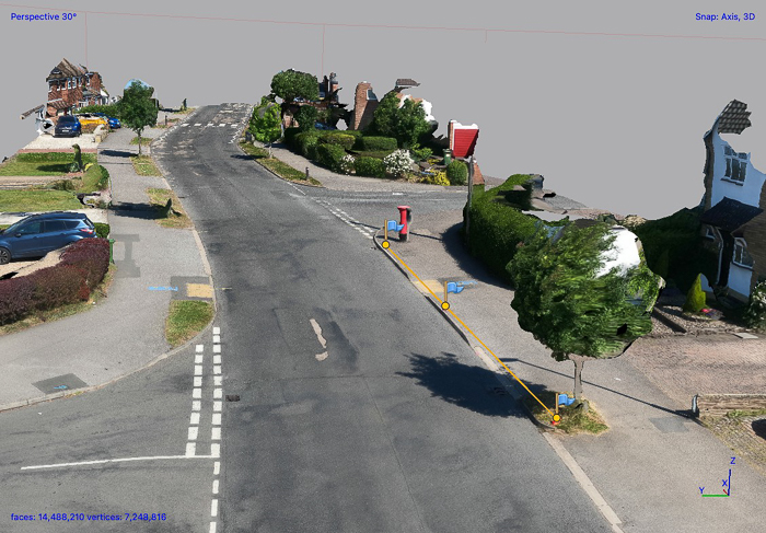
A closer look at the latest release of the Agisoft Viewer, a free app that enables viewing and measurement of 3D and 2D content.
A look at using cost effective GoPro and Mavic Mini drone cameras to gather source images for 3D reconstruction in Metashape Professional
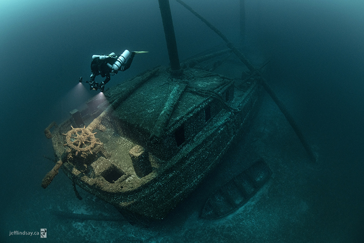
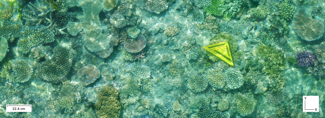
Award winning diver and photographer Becky Kagan Schott joins the AccuPixel mentoring program to take her photogrammetry beyond shapes and into science of scaling and geo location

A review of how metashape professional is being used to measure and quantify mountain biking trail wear and erosion

Customer supported processing to extract as much detail from source images as possible, this blog reviews the steps taken to produce reliable results from depth maps instead of the dense cloud

Underwater GPS data merged with image files a simple to use tool