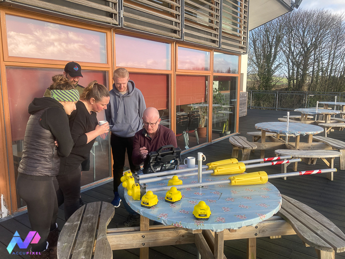
Earlier this week saw three days of training delivered at Capernwray Dive Centre. In fact, the first two days were devoted to the IANTD underwater photogrammetry course with Agisoft Metashape processing the results. The third and final day covered topside preparation and underwater use of UWIS diver tracking and GPS data acquisition for photogrammetry.

We cover the principles of photogrammetry and UWIS in the classroom and apply the lessons underwater with dive instructor Tim Clements’ guidance. At the end of the course all students had mastered the concepts and processed their first models.

Tracking the Movement
Consequently, the third day was devoted to the deployment and use of the UWIS hardware. How can we leverage photogrammetry and UWIS?
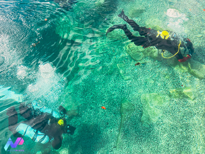
The first dive concentrated on tracking 4 divers concurrently as they navigated around the quarry. The instructions were simple – loop around some of the attractions and record their perimeter.

The divers were gathering useful data just by swimming around and their tracks can be downloaded in several formats, including geoJSON for import into Blue Marble Global Mapper GIS software:

The loops record the position of two aircraft, a former minesweeper, a decommissioned diving bell and – incredibly small – a diver helmet.
By measuring the track we know the distance swam is just over a half kilometre (564m to be precise.) By recording depth, Global Mapper’s Path Profile analysis reveals the relative depth of the dive:

Working with Geospatial Data
With a wide range of supported import and export formats Global Mapper is a great editing, analysis and interpretation tool for clients working with geospatial data.
The 2D view has use but we do dive and record the track in a 3D world. We can visualise this by loading the UWIS log file into Global Mapper and using the really neat 3D viewing option:
Furthermore, working in 3D we can extract more information from the path – the actual track of the diver in context of where the other divers swam. In this clip we follow one diver into Capernwray and around one of the features. Adding in the photogrammetry model is the next step:
Although Jose has always praised Global Mapper, now Simon is convinced too. Its ease of use and powerful tools are truly stunning.
Diving with a Purpose: Photogrammetry and UWIS
So, we will apply UWIS and our photogrammetry skills to a major project in the North East. Benefitting from Heritage Lottery Funding the SeaScape project concentrates on the coastal and maritime heritage between two great rivers of the Tyne and the Tees.
Additionally, the section of coast features countless wrecks of all ages. So, preserving this out-of-sight heritage in digital 3D is led by Newcastle University and will enable everyone – diver and non-diver alike – to fully appreciate these historical time capsules that lie in the deep.
Thank you for reading about photogrammetry and UWIS.
This is great Jose and Simon, how accurate is the navigation information from UWIS? 1 m? 4 m? Thank you!