
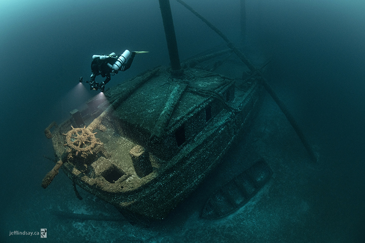
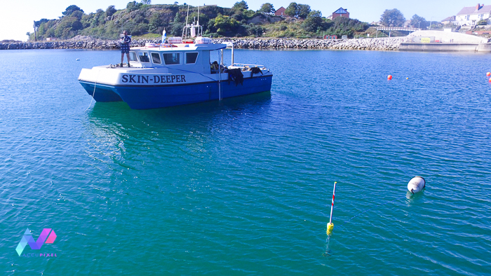
Underwater photogrammetry and UWIS diver tracking and data acquisition training for an AccuPixel client at Capernwray Diving Centre
Underwater photogrammetry and UWIS diver tracking and data acquisition training for an AccuPixel client at Capernwray Diving Centre
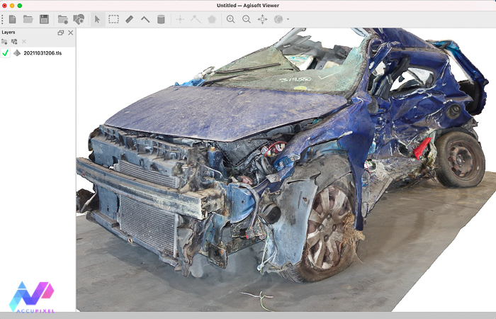
A closer look at the latest release of the Agisoft Viewer, a free app that enables viewing and measurement of 3D and 2D content.
A look at using cost effective GoPro and Mavic Mini drone cameras to gather source images for 3D reconstruction in Metashape Professional
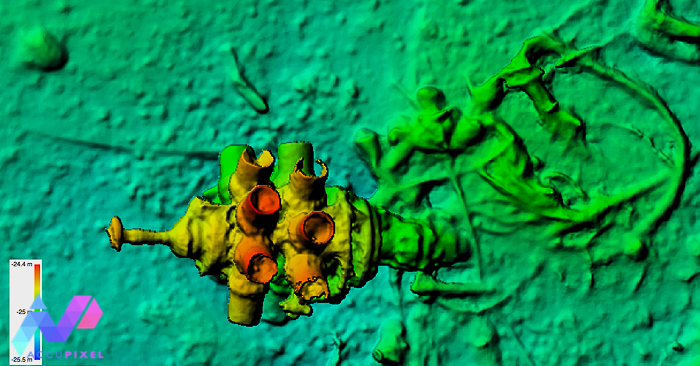
AccuPixel using UWIS underwater GPS to hunt for a missing aircraft in the English Channel with Global Mapper analysing the results
Award winning diver and photographer Becky Kagan Schott joins the AccuPixel mentoring program to take her photogrammetry beyond shapes and into science of scaling and geo location
Following a successful deployment in the English Channel UWIS ran for 7 hours recording GPS positions of the diver at work
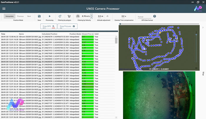
Latest release of Camera Positioning tool from AccuPixel

Accupixel announce the availability of UWIS hire in the UK for underwater GPS and tracking of diver or ROV with optional data gathering

A free Metashape Professional script adding a Transform Helper to the main menu

A review of how metashape professional is being used to measure and quantify mountain biking trail wear and erosion