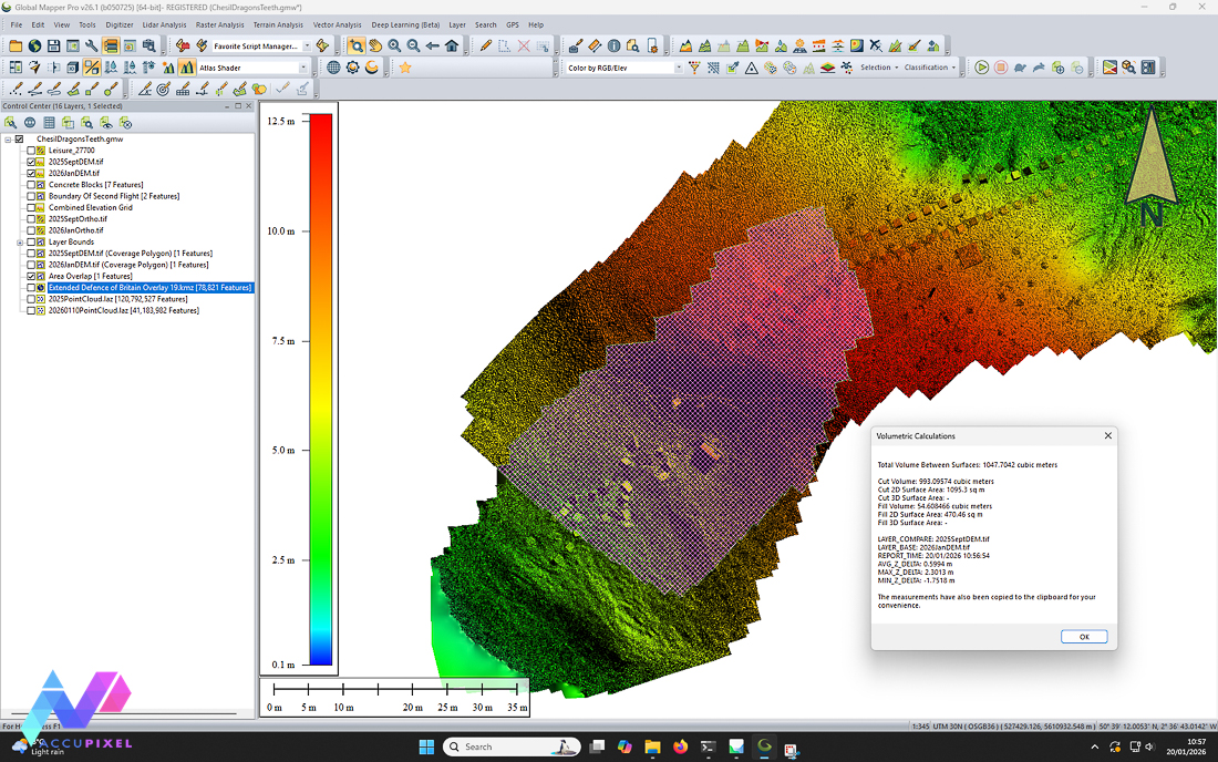
Chesil’s dragon teeth represent a rare and increasingly vulnerable relic of WWII coastal defenses, preserved within a dynamic environment– perfect…
Chesil’s dragon teeth represent a rare and increasingly vulnerable relic of WWII coastal defenses, preserved within a dynamic environment– perfect…

Photogrammetry site monitoring turns every survey into living, raw, data. AccuPixel’s recent project uses photogrammetry for conservation and precise 3D…
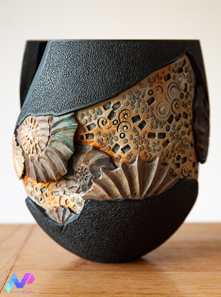
Recent events have made us wonder: Can we use photogrammetry in the preservation of art and rare items? This year,…
Are we walking in the footsteps of history; in our most recent study, applying photogrammetry for Roman History, José, took…

Guest Blog by Tim Clements

Taking GIS Data into the Field with Global Mapper Mobile Global Mapper Mobile is changing how teams handle GIS data…

Real world photogrammetry is transforming how we capture and preserve physical objects in digital form. The advent of computer technology…

LiDAR training with Metashape is now part of our online Metashape Professional Edition for Forensics & Surveying Course for professionals…

Introduction to AccuPixel’s Photogrammetry Training with Metashape and Zephyr Photogrammetry training with Metashape and Zephyr is crucial for professionals in…

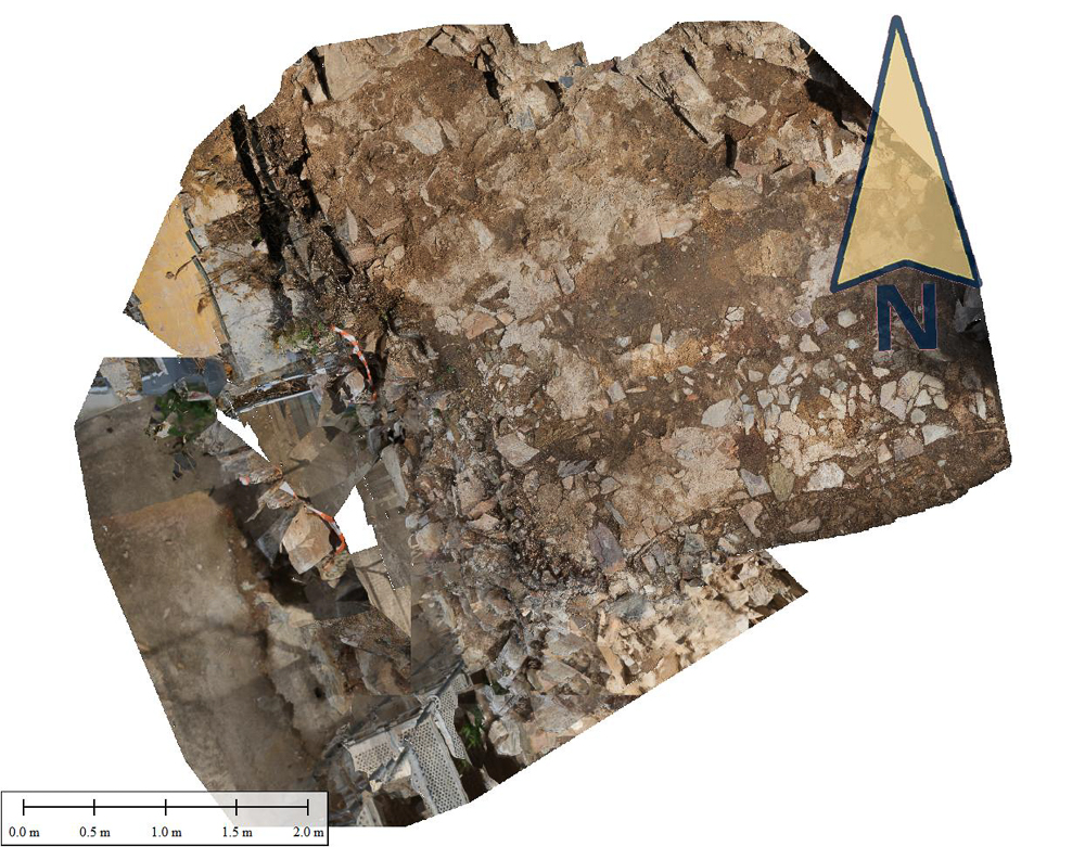
Documenting Abbotsbury’s WWII Heritage with Photogrammetry On the pebble beach of Abbotsbury in Dorset, England, AccuPixel’s Simon Brown and Alicia…