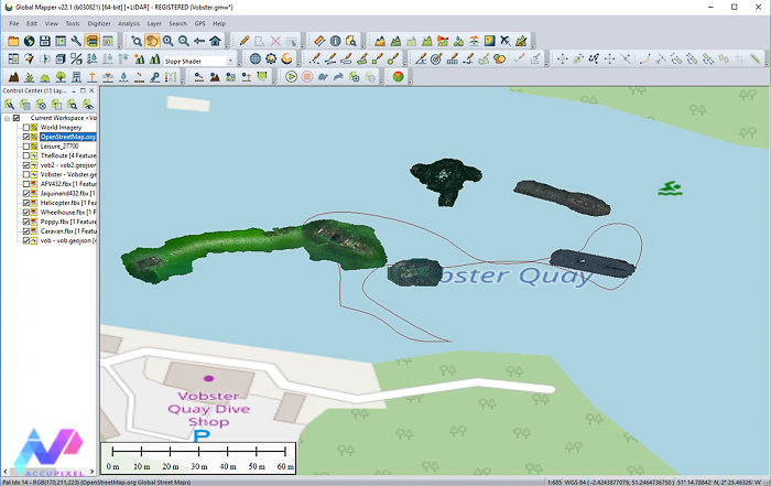
Using Global Mapper GIS tools to merge UWIS track logs with geo referenced 3D models derived from Metashape and generate video output
Using Global Mapper GIS tools to merge UWIS track logs with geo referenced 3D models derived from Metashape and generate video output

Underwater photogrammetry and UWIS diver tracking and data acquisition training for an AccuPixel client at Capernwray Diving Centre
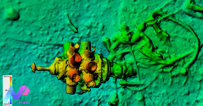
AccuPixel using UWIS underwater GPS to hunt for a missing aircraft in the English Channel with Global Mapper analysing the results
Following a successful deployment in the English Channel UWIS ran for 7 hours recording GPS positions of the diver at work
Today we are happy to announce AccuPixel is now a part of the Global Mapper Certified Reseller program: Why Global…