On hearing the news Jose remarked “There are two sorts of drone pilot. Those who have lost one, and those about to.” We are on a mission to complete some drone photogrammetry of dinosaur fossils at Hastings.
Last week, after many hours of successful flights I lost a drone at Hastings. The site is an intertidal zone and an uber-cool subject; 140 million-year-old dinosaur footprints and tail drag marks are preserved in the bedrock.
This was no ordinary mission, having taken close to three years of waiting for the right conditions:
- A spring tide
- Low water in daylight hours
- Light winds and no rain
- A beach stripped of its covering of sand
The last one needs a winter storm to shift the sand. In January local contact and expert Phil Hadland AKA “Fossil Phil” confirmed the sand had gone.
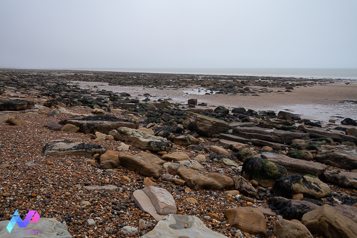
Last week saw some good tides and light winds so we headed down to the beach. Everything was looking good.
The planned mission was just over a hectare, needing four batteries. But the first flight was to validate the planned mission with the reality on the ground, so the drone took a short flight down the beach to make sure the full extent was captured.
Drone Down! Chaos in the process of drone photogrammetry of dinosaur fossils
At the far end of the site, an alarm was triggered. Instead of following the return-to-home instruction the drone landed. In the largest and deepest rock pool on the beach.
From the flight log it transpires the battery had developed a fault and the drone went into auto landing mode. At less than 10m altitude was low and by the time I reacted the drone was on the water.
Saltwater kills electronics and there was no way the drone was coming back from the swim. I do a lot of flights over the sea so AccuPixel does not fly the latest/most expensive drone possible.
We lost a DJI Phantom 3, which is now obsolete, but was still capable for testing and personal projects like dinosaur tracks. Or to put it another way, if we need RTK we will use it, but if there are other ways then we take a balanced view of cost vs benefit and if we can work with the kit we have.
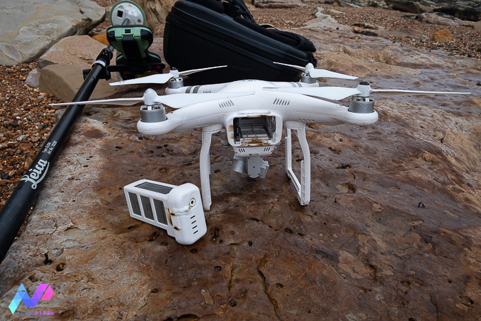
Hence I drowned a $350 drone. Not happy at losing one, but not as unhappy as drowning a $4k RTK model.
The drone rounded the day off by setting fire to itself when the battery dried out. The Phantom really did make sure it was never going to be operational ever again.
Recover The Day and Ensuring Drone Photogrammetry of Dinosaurs Fossils.
The site is a fossil hunter’s delight and a superb example of the mixed and unique geology the UK has. There was plenty to record without the drone.
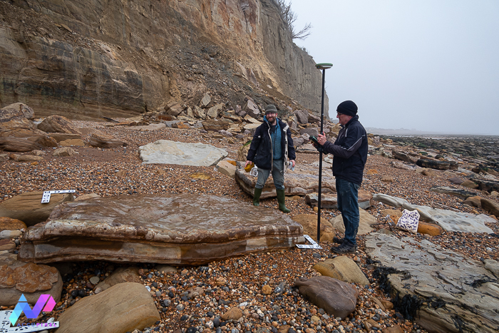
The first step was to take the Leica survey kit and record the known footprints and tail drag marks on the foreshore. We now have an accurate record of the known extents of the site. A future mission plan can work with accurate data.
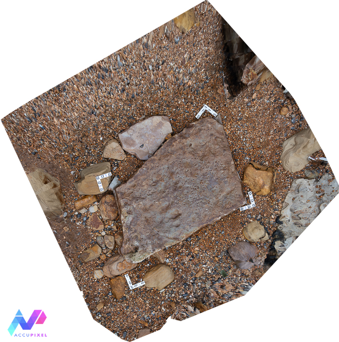
The second step was to use an action camera to record a fallen slab that has a set of footprints preserved. The resulting model hints at what the foreshore model will look like, and the DEM reveals there are four full prints and three partial prints in the rock. Fossil Phil called it the “Dinosaur dancefloor” and I like that description.
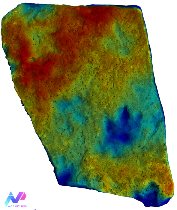
We do not normally recommend working with action cameras (But we have found one model that proved to be exceptional and used here…watch this space) but just like the out-of-support drone, we work with what kit we have and understand the limitations.
“Often, people overlook the cost versus benefit when they spot a shiny new kit, but do they really need it? This is part of what we teach in our photogrammetry training courses and how to evaluate what will work and where weaknesses may arise is core training.
“We processed the model in 3DF Zephyr, and you can view it here:
And the orthomosaic is accessible here:
Next Steps
A replacement drone is on its way and keeping to policy is not the latest/greatest most expensive RTK model. If we drown another it will be disappointing but will not break the bank.
Preserving the site digitally offers so much potential for study without waiting for the next low tide. Just like the work researching the SS Thistlegorm a digital twin allows work to continue without actually being on site.
The next spring tide should see us back and better prepared to capture the full extent of the identified dinosaur tracks. We have a great opportunity to demonstrate the versatile applications of photogrammetry by means of drone photogrammetry of dinosaurs.
Both Jose and Simon take time to practice and the dinosaur prints are a perfect example of real-world experience that feeds directly into our training courses.
2 thoughts on “One Of Those Days – Drone Down”
Comments are closed.