UXO – unexploded ordnance – is the kind of nasty surprise that can ruin a good day. Knowing where bombs are before construction work begins is wise. If your construction site happens to be very close to a fortification and a strategic harbour then an investigation becomes essential. A setting like this is aided by underwater GPS provided by UWIS.
Last week UWIS & AccuPixel was out in the English Channel working with Apex Diving and Marine, supporting a project to investigate 140 magnetometer targets ahead of the construction of a new pipeline in Newton’s Cove.
Diver Survey and Underwater GPS
The proximity of Nothe Fort and Portland Harbour put the risks of unexploded ordnance high enough to conduct a full diver survey of every target, gathering evidence of what was found and removing anything nasty.
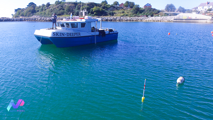
After deploying the buoys the first dive of the day was to investigate a target before moving tight inshore on a high spring tide. With a tracking up to 500m the inshore work was comfortably in UWIS GPS underwater range (we were working 180m from the furthest buoy) but the very shallow depth of water – less than 2m at high tide – was going to test the kit.

Shallow Water and underwater GPS UWIS
UWIS tracking software reported the diver’s position close to shore with little difficulty, recording the position of the diver to the log file while giving us visual feedback as the diver excavated the target.
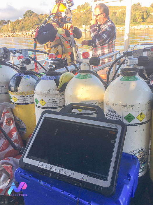
As the tide turned, we moved the job away from the shore. Next we used the metal detector to search two more boxes. There was no need to relocate the UWIS buoys. With 7hrs of battery once deployed they remained operational throughout the day.

We found only fishing weights and stainless steel wire that day. After we confirmed the last target as benign, we recovered the UWIS buoys used for underwater GPS.

Post Dive Analysis
Later the UWIS log was downloaded and imported into Global Mapper with additional map layers added to give the diver tracks context. With underwater GPS, UWIS is able to provide location and paths of divers.

Global Mapper is a very versatile tool that can work with many formats of GIS related spatial information. Therefor, it is a very good fit for anyone who requires dive track presentation and analysis.
Summary of Underwater GPS & UWIS
Consequently, we proved the use of UWIS in very shallow water. Also, with no need for calibration before deployment or for relocating buoy positions throughout the day. The long battery life and constant logging allowed the divers could concentrate on the work at hand.
So, what’s the next steps? UWIS can output a NMEA sentence reporting diver position. So, the goal is to display that on the boat’s navigation equipment.
Watch this space!
1 thought on “Underwater GPS UWIS: The Hunt for UXO”
Comments are closed.